
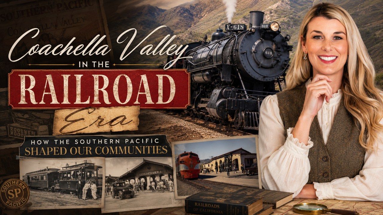
Coachella Valley in the Railroad Era: How the Southern Pacific Shaped Today's Communities
How did the Southern Pacific Railroad determine which Coachella Valley towns became cities — and why does that still matter to buyers and homeowners today?
The Southern Pacific's 1876–77 push through the desert wasn't just a feat of engineering — it was an act of city-building. Every town the railroad chose to supply with water and a station became a real community; every gap between those stops stayed empty for decades. That original logic still shows up in east valley street grids, lot patterns, and land values right now.
The Iron Rail Arrives: 1876 and the Birth of the East Valley
The summer of 1876 was punishing even by desert standards when Southern Pacific crews drove the first rail spikes into the sand at the eastern end of the Coachella Valley. The company was racing to complete its Sunset Route linking Los Angeles to New Orleans, and the low, flat corridor through the Sonoran Desert was its chosen path. What that path needed — desperately — was water.
Railroad engineers solved the problem by sinking artesian wells at regular intervals along the right-of-way. The wells weren't just for steam engines; they were the difference between a livable work camp and a death trap. Wherever a reliable well could sustain a permanent crew station, a townsite materialized almost overnight. The station the company originally called "Indian Wells" — renamed Indio when the post office objected to the existing Indian Wells station farther west — was designated a division point in 1876. That status meant Indio got a depot, a roundhouse, maintenance shops, and eventually a permanent workforce. The choice was purely logistical. It made Indio the first real settlement in the eastern Coachella Valley.
By 1877 the main line was complete, and a string of flag stops stretched south and east: Thermal, Mecca, and the settlement that would eventually incorporate as Coachella. Each one sat at a tested well site. Each one got a water tank, a loading platform, and a reason to exist that had nothing to do with scenery or climate — and everything to do with hydrology and train schedules.
How Railroad Logic Became Town Geometry
If you've ever driven down Indio's Miles Avenue or walked the blocks around the old downtown depot site, you've already seen Southern Pacific's fingerprints. Railroad townsites were platted the same way across the American West: streets ran parallel and perpendicular to the tracks, blocks were sized to fit a standard lot count, and the commercial core clustered within a quarter mile of the station. Indio's original 1876 plat followed exactly that template, and the bones of it survive in the street grid to this day.
Coachella's downtown shows the same geometry. The town was originally called Woodspur — a spur track that let agricultural shippers load cars without blocking the main line — before residents voted to rename it Coachella in 1901. That spur-track origin explains why Coachella's early commercial blocks sit at a slight angle to the surrounding farmland grid: the streets followed the spur, not the compass. Thermal and Mecca, smaller and less formally platted, developed more organically, but both still cluster tightly around their original station sites.
The contrast with the west valley is instructive. Palm Springs was never a railroad division point — the Southern Pacific main line ran through the valley floor well to the south, and Palm Springs remained a remote spa destination accessible by stagecoach until the 1930s. Its street grid was designed around resort blocks and pedestrian promenades, not loading docks and locomotive turntables. That difference in origin story is part of why west-valley towns feel architecturally distinct from east-valley towns even today, despite being just 25 miles apart.
Agriculture, Artesian Water, and the Towns That Grew Between the Stops
The railroad didn't just build towns — it made farming possible at commercial scale. Once the Southern Pacific proved that artesian wells could sustain a work camp year-round, agricultural investors paid attention. By the 1890s, date palms imported from Algeria and Iraq were being planted in the fields around Indio and Coachella, watered by the same underground aquifer the railroad had first tapped. The Salton Sea irrigation canal project of 1900–1905 extended that logic further, and suddenly the entire eastern valley floor was arable.
Thermal developed specifically as a produce-shipping point: its mild winters made it one of the earliest commercial vegetable growing regions in California, and the railroad was the only practical way to get perishable crops to Los Angeles markets. Mecca, at the southeastern edge of the valley near the newly formed Salton Sea, served both agricultural shippers and date growers who found the extreme summer heat ideal for fruit development. None of these communities would have been commercially viable without the daily freight trains running through them.
La Quinta, by contrast, developed later and independently of the rail corridor — the La Quinta Hotel opened in 1926 as a secluded artists' retreat accessible by car, and its original land plan reflected resort sensibilities rather than rail logistics. Palm Desert didn't incorporate until 1973. Rancho Mirage wasn't incorporated until 1973 either. Indian Wells incorporated in 1967. The west-valley resort cities are genuinely young; the east-valley agricultural cities are old, and their age is written into their infrastructure.
What This Means For You
• East valley street grids have deep roots. The blocks and lot patterns in Indio and Coachella trace directly to railroad-era plats, which is why infill development and downtown revitalization projects there often encounter irregular easements, older utility corridors, and lot sizes that don't match newer subdivision standards. Know this before you buy near a historic downtown core.
• Indio's affordability has structural reasons. As a railroad division point rather than a resort destination, Indio was built to work, not to vacation. That heritage shapes its price point today — Indio remains the most affordable incorporated city in the Coachella Valley, with homes typically ranging from the $300Ks to the $800Ks. That's not a market flaw; it's a history lesson.
• Agricultural zoning persists in surprising pockets. Thermal and Mecca still carry active agricultural land designations adjacent to residential parcels, a direct legacy of the railroad-era farming economy. Buyers looking at properties in those areas should review zoning carefully — mixed agricultural-residential boundaries can affect what you can build and how neighboring land gets used.
• The east valley is not "undiscovered" — it's differently discovered. Coachella and Indio have been continuously inhabited and economically active since the 1870s, longer than most west-valley resort cities. Understanding that history helps buyers see these communities as established places with durable economies, not speculative frontiers. For more on how the full valley's distinct neighborhoods compare today, browse the Indio and Coachella community pages.
The Southern Pacific didn't ask whether a particular stretch of desert was scenic or fashionable. It asked where the water was, where the grade was manageable, and where a locomotive crew could safely stop for the night. Those utilitarian answers built an east valley that is genuinely different from the resort corridor to the west — and that difference is one of the most interesting, and least-discussed, dynamics in Coachella Valley real estate.
Ready to make your move in the Coachella Valley? Reach out to Shana Gates at Craft & Bauer. Contact Shana →
Frequently Asked Questions
When did the Southern Pacific Railroad first reach the Coachella Valley?
Southern Pacific crews reached the eastern Coachella Valley in 1876, driving the main line through as part of the Sunset Route connecting Los Angeles to New Orleans. The division point that became Indio was established that same year, making it the first permanent non-Indigenous settlement in the east valley.
Why is Indio's downtown street grid laid out the way it is?
Indio was platted as a railroad division point in 1876, and like most Western railroad towns of that era, its original streets were laid out parallel and perpendicular to the tracks. That grid has been built upon and expanded over 150 years, but the core block pattern near the historic downtown still reflects Southern Pacific's original survey — which is part of why older parcels near the center of Indio can have non-standard easements and lot configurations compared to newer suburban subdivisions.
How did the railroad make agriculture possible in the Coachella Valley?
Southern Pacific engineers sank artesian wells along the right-of-way to supply water for steam engines and work crews, proving in the process that the valley's underground aquifer could sustain year-round occupation. Agricultural investors followed that proof of concept in the 1880s and 1890s, planting date palms and vegetable crops near Indio, Coachella, and Thermal — and using the railroad's daily freight service to ship perishable produce to Los Angeles markets before refrigerated trucking existed.